Skip to Content

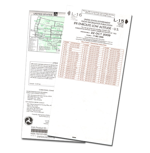
Image for illustration only. It may show a product series rather than the exact product offered.

Enroute Low Altitude Chart L-27/28

This is a special order item. Additional fees may apply. Please contact us for details.
https://www-old.roctexo.com/web/image/product.template/20691/image_1920?unique=2ed2120
Part numbers : RX1-13-05212 , L27/28 , 13-05212
Unit of Measure: EA

4.61 EUR / EA 4.61 EUR 4.61 € excl. VAT

4.61 EUR / EA excl. VAT

Not Available For Sale

This combination does not exist.

Availability
Not in stock
Available to order. Lead times vary.

The Enroute Low Altitude Chart L-27/28 is an IFR enroute navigation chart intended for operations below 18,000 ft MSL within the conterminous United States and Alaska.

It presents aeronautical information used for low-altitude IFR route planning and navigation, including airways, controlled-airspace limits, radio-navigation aid positions, identifiers and frequencies, airports with terminal air/ground communications, minimum enroute and obstruction-clearance altitudes, airway distances, reporting points, special-use airspace and military training routes.

  • Manufacturer part number: L27/28
  • Roctexo part number: RX1-13-05212
  • Supplied as: each
  • Unfolded chart size: approximately 127 × 51 cm
  • Folded size: approximately 13 × 25 cm

Suitable for purchasers requiring chart L-27/28 as part of their current IFR navigation documentation.

Orders with purchased items below 100.00 € incur a small order fee of 10.00 €. Both amounts exclude VAT. Shipping, other fees and core deposits do not count towards the limit.

These products might also be of interest

Your Dynamic Snippet will be displayed here... This message is displayed because you did not provided both a filter and a template to use.